

Past and Present Photographs
Bakers Lane in the early 20th century and early 21st century
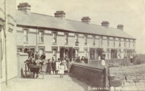
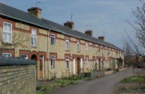
Sunnyside (known as "New Row" on 1901 Census in early 1900's and 1990s
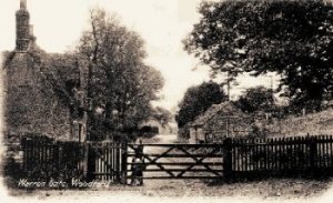
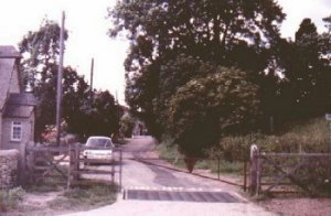
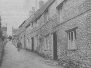
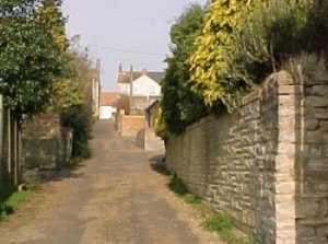
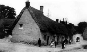
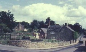
Warren Gate - East end of Church Street
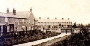
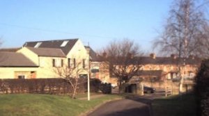
The original recreation ground, purchased from the Parish Council
by the County Council in the 1960s, now the site of the school
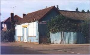
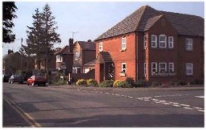
High Street and Mill Road known locally as Essam's Corner.
Photos show Essam's garage (following closure) and Victoria Court
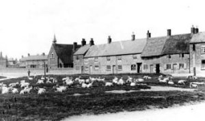
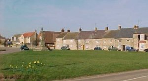
Woodford Village Green early and later twentieth century
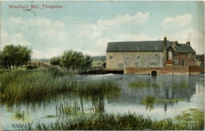
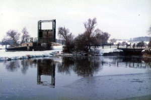
Former Woodford Lock and Woodford Mill (footbridge adjacent to lock is visible on both images)
Corner of Hogs Lane and School Road now known as Club Lane and Church Street